Bialystok ghetto
Bialystok with its approximately 300,000 inhabitants is located in northeastern Poland, about fifty kilometres from the border with Belarus. Bialystok was occupied by the Germans for the first time on September 15, 1939, but according to the Molotov-Ribbentrop pact of August, 1939, this part of Poland where Bialystok is located was to be handed over to the Soviet Union on September 22. When Germany attacked the Soviet Union barely two years later, Bialystok was occupied by German troops for the second time. The area, where Bialystok is located, was named Bezirk (district) Bialystok. The district was bordered by the Reichskommissariat Ostland to the northeast, Reichskommissariat Ukraine to the southeast, General government to the southwest and Greater Germany to the northwest. At that time, there were about 300,000 Jews living in the district, of whom about 60,000 lived in Bialystok. Immediately anti-Semitic laws were introduced against the district’s Jews and German Einsatzgruppen (Killing squads) carried out murderous actions against the district’s Jewish population. In June 1941, about 2,000 Jews were burned inside the large synagogue. A month later, about 4,500 Jews were murdered in the Pietrasze forest in eastern Bialystok. In August 1941, a ghetto was established in Bialystok for the city’s remaining jews and jews from nearby villages.
Current status: Partly preserved/demolished with monument (2009).
Location: 53°08'17.43" N 23°08'58.84" E
Get there: Walk from central Bialystok.
Follow up in books: Arad, Yitzhak: Holocaust in the Soviet union (2009).
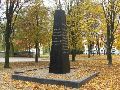
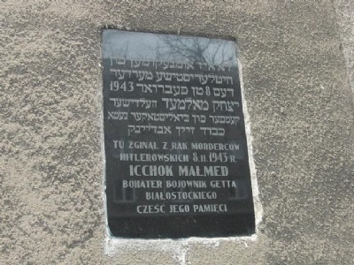
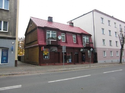
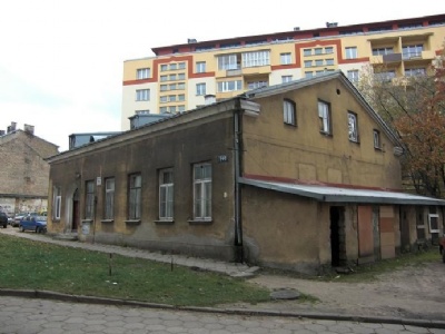
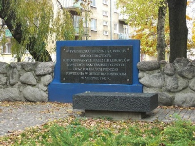
The monuments and houses are scattered around the city and the best way to visit them is with a modern map and a ghetto map to make comparisons. Houses from the time of the ghetto remains mixed with post-war houses.