Kamenka
About six kilometers north of Kamenka (finnish Summa) and along the road between Leningrad (Saint Petersburg) and Vyborg lay a sector belonging to Mannerheim line. The main task of this sector was to prevent the enemy (Soviet union) from advancing along the road up north. During the Winter war, the Soviet Red army came to face enormous problems in this sector. Here were some of the millionaire bunkers that were reinforced and extra difficult to knock out and conquer.
In connection with the October revolution in Russia in 1917, Finland took the opportunity to proclaim independence. A little reluctantly, the Soviet Union accepted Finland’s independence, but there was a suspicion of each other’s intentions. The border between the two countries was on the Karelian isthmus (now Russia) and already in 1920 Finland started building a line of defence between Summa in the west and Taipale on Lake Ladoga in the east. Between 1920 and 1924, about a hundred bunkers were built along the defense line. These were relatively small and actually insufficient for the purpose, but financial savings did not allow more. Only at the beginning of the thirties Finland begun to strengthen the line.
From the mid-thirties until the outbreak of the war in 1939, when relations between Finland and the Soviet Union deteriorated and war could not be ruled out, the line of defence was further strengthened, with more bunkers, anti-tank weapons, machine gunnery, trenches, tank barriers, minefields and barbed wire. When the Finnish winter war broke out on November 30, 1939 and the Soviet Red army attacked Finland on a broad front over the Karelian isthmus, the attackers had difficulty in forcing the line of defence. It had also been named Mannerheimlinjen after the Finnish commander-in-chief Gustaf Mannerheim. The original purpose of the line was not really to resist an attack, but rather to delay and fight the enemy. This was also successful for two months where the attackers were thrown back.
But the material and numerical superiority of the Russians became decisive in the end. The war ended on March 13, 1940, when a peace treaty was signed between Finland and the Soviet Union. The Karelian isthmus and the Mannerheim line then ended up in Soviet territory. Soviet engineering troops then came to systematically destroy the line of defense. In 1941 when the finnish army advanced southward it came under fire again, and then again in 1944 when the Red Army advanced northward.
Current status: Partly preserved/demolished with monuments/information boards (2021).
Location: 60°30' 18.98" N 29°00' 11.57" E
Get there: Car.
Follow up in books: Trotter, R William: The Russo-Finnish Winter War of 1939-1940 (2010).
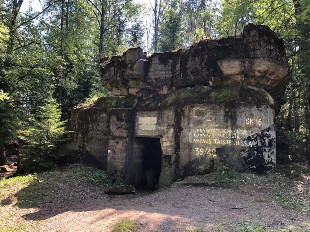
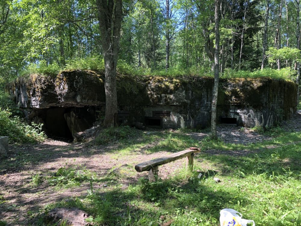
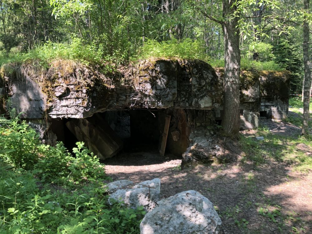
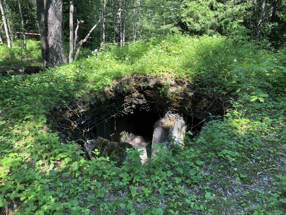
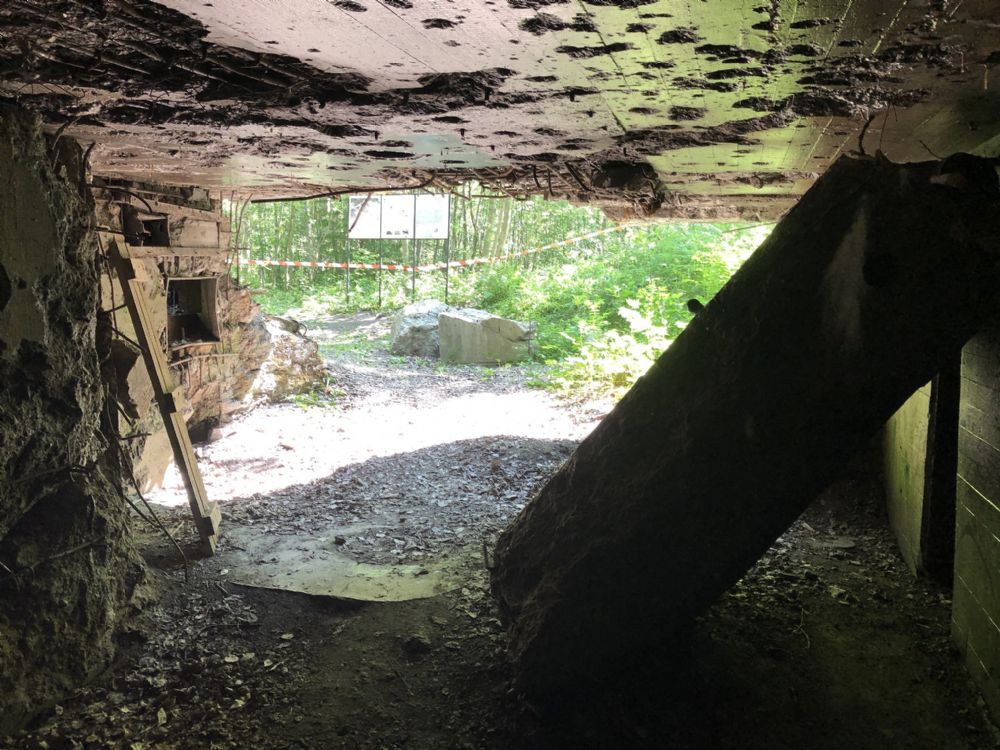
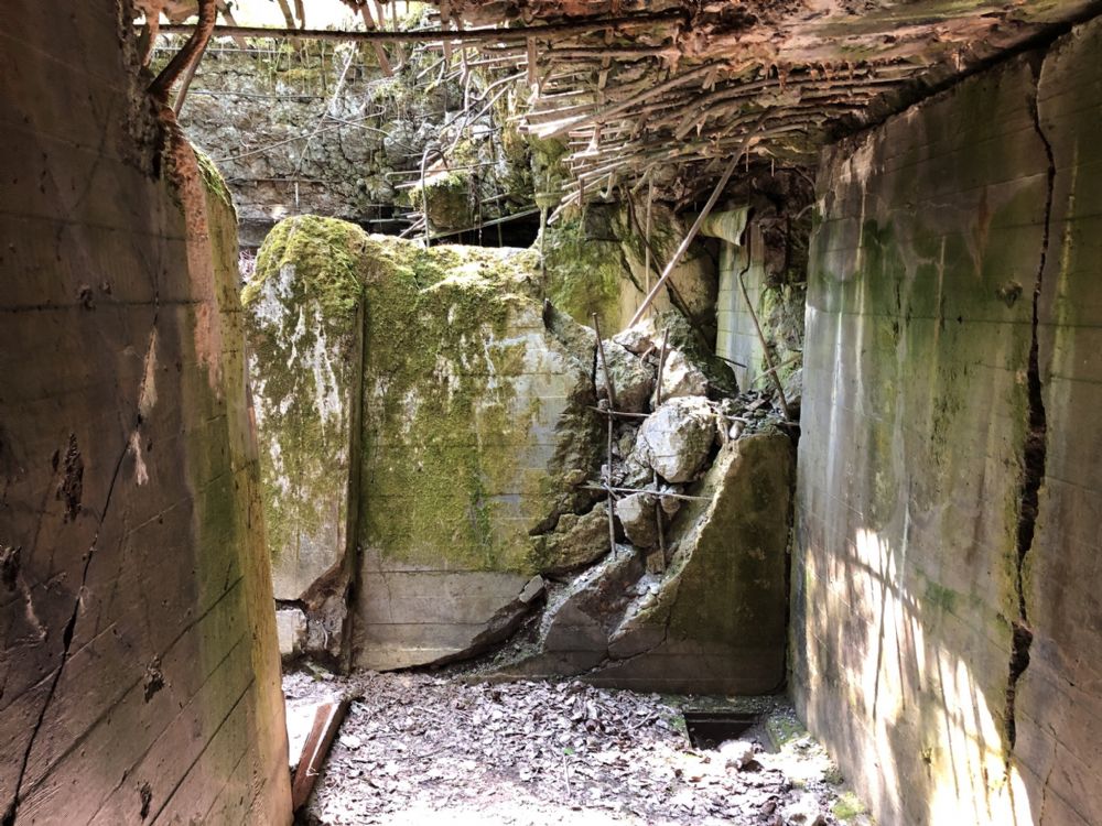
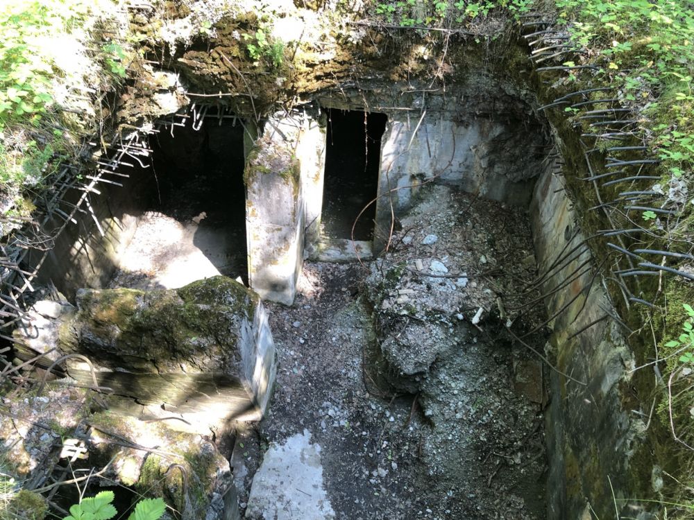
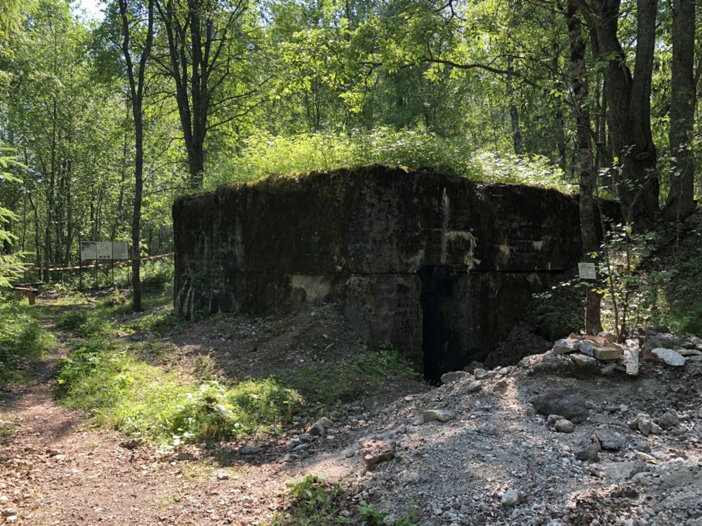
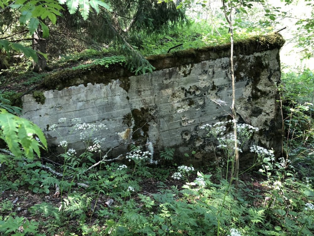
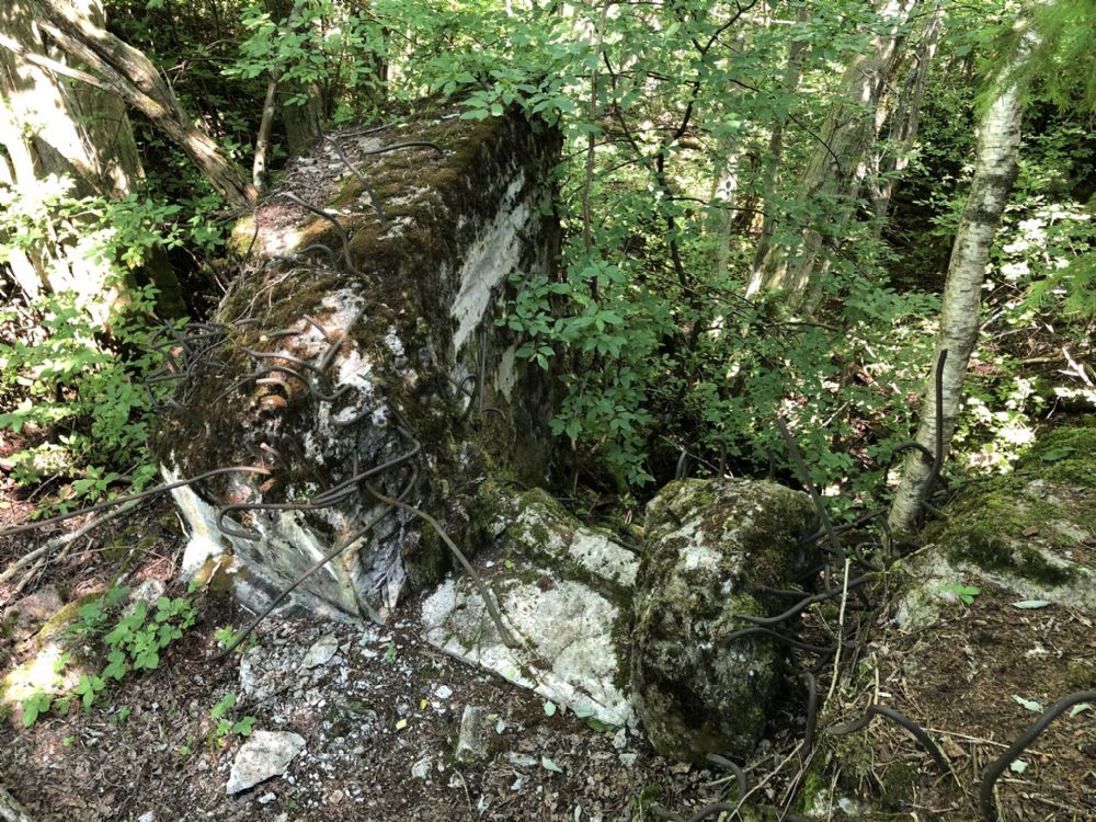
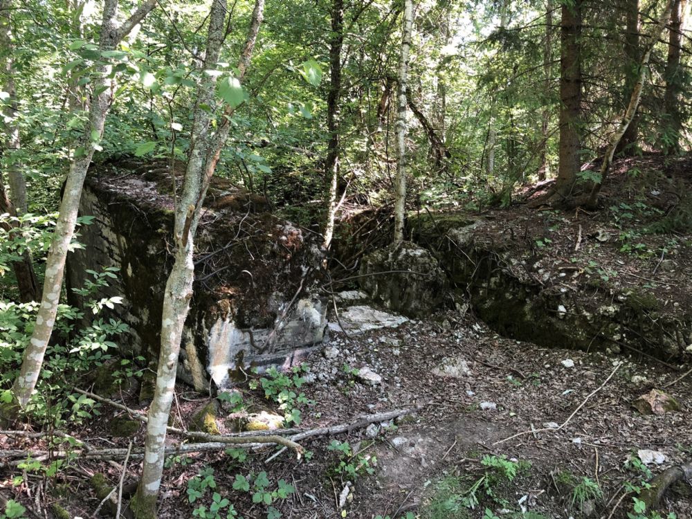
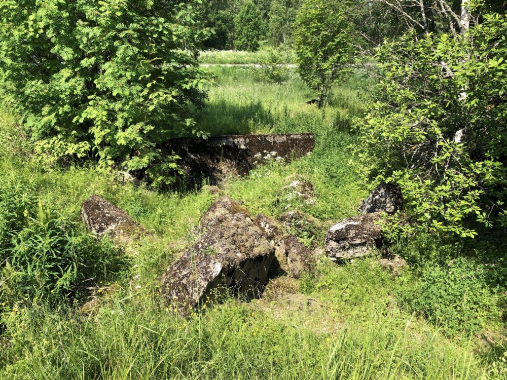
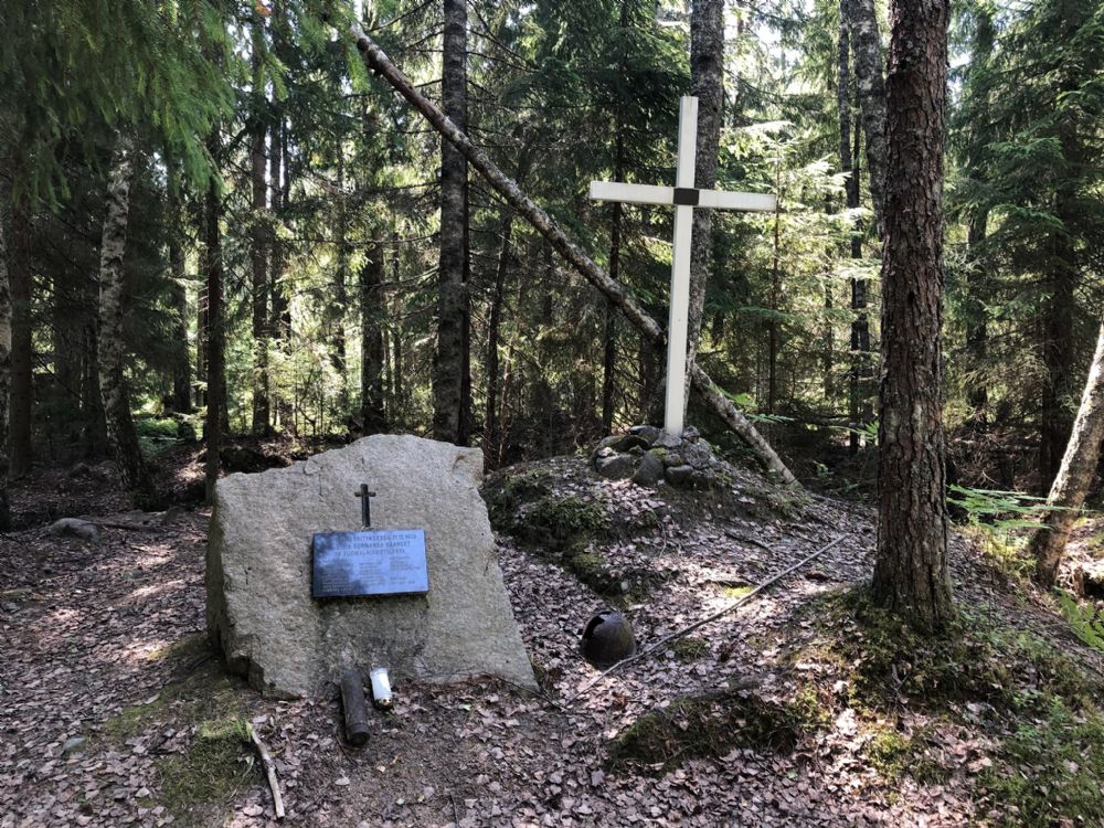
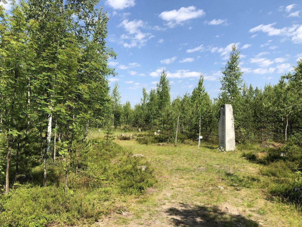
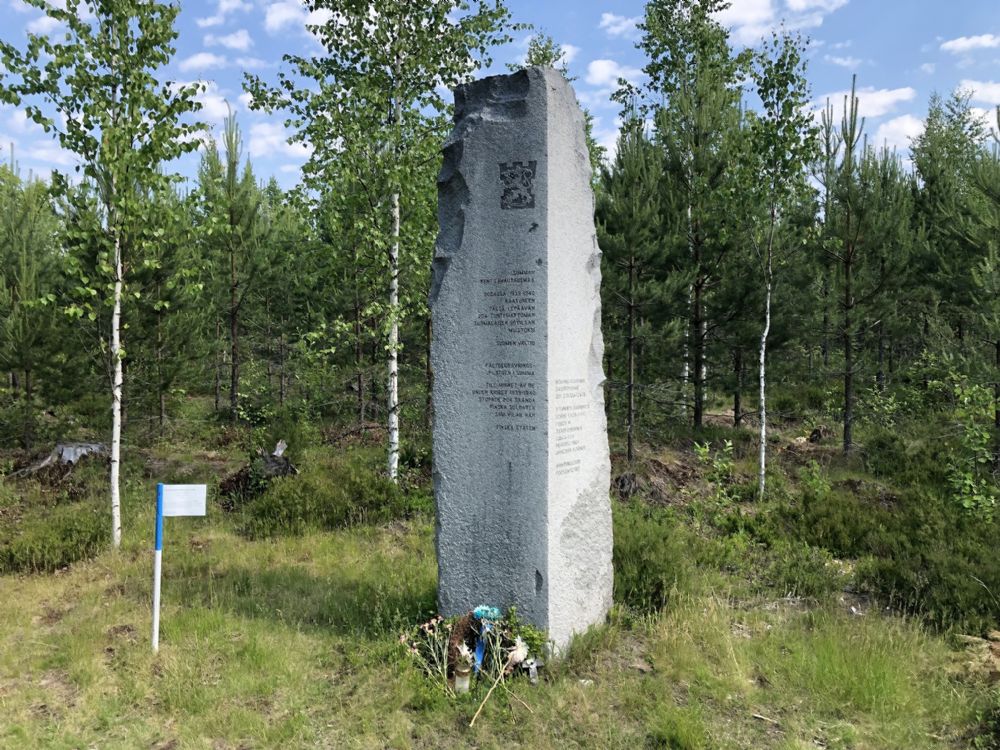
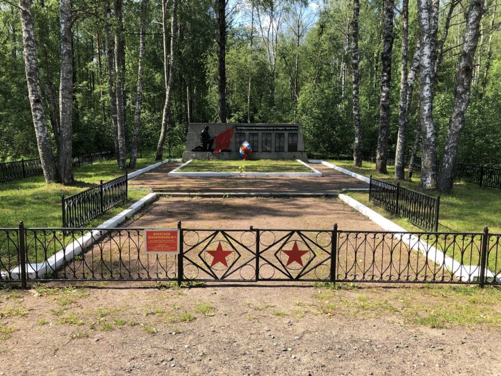
Bunkers and ruins from the Mannerheim line remain along the entire line, albeit in varying condition. Some are easily accessible while others are inaccessible far away from public roads and well hidden in the nature. At Summa there are both preserved and destroyed bunkers, including millionaire bunkers who were more reinforced than the average bunkers in the sector. Two of these remain, one is completely destroyed while the other is heavily damaged but still preserved. However, they are located about 700 meters from the road and are difficult to find without local knowledge. The area is also hard hit by mosquitoes in the summer, which makes it almost impossible to visit them.
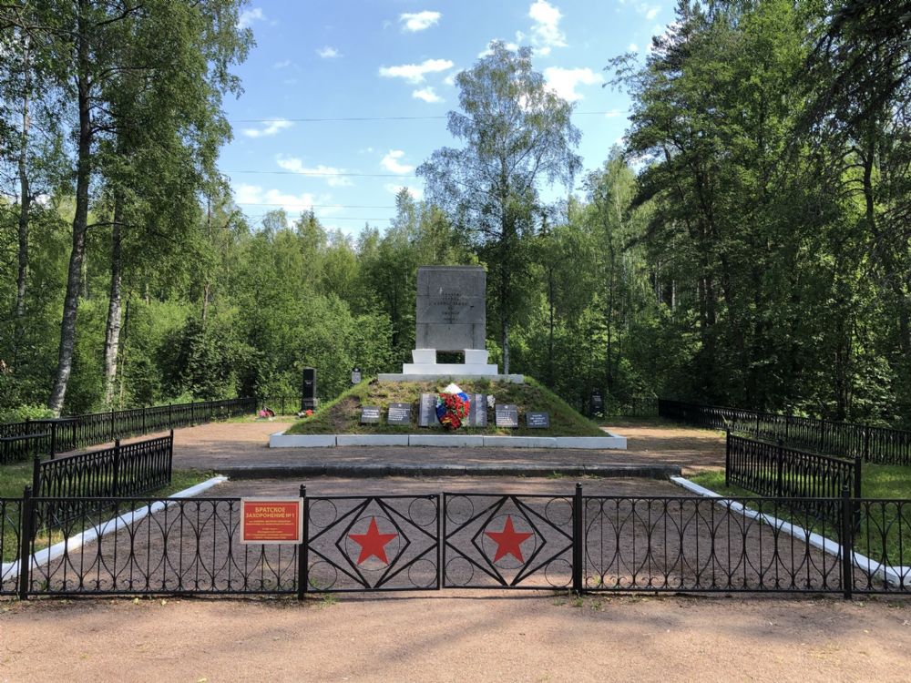
Nearby, there is also a well-preserved destroyed command bunker. In addition to bunkers, there are also Soviet and Finnish war cemeteries as well as several monuments dedicated to both finnish and soviet armed forces. To visit the Mannerheim line, it is necessary to hire a guide with local knowledge. Most bunkers and monuments are located in the forest without any signs from the road. Fortunately, there seem to be local organizations and military interested people looking for the places of their own interest. Ensures that trails are cleared and puts out some markings to make it a little easier for visitors to find them.