Algeciras
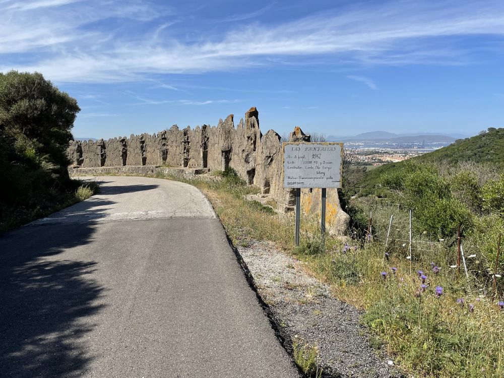
Along the westcoast of Gibraltar bay, the Spanish dictator Franco built during the forties a coastal defence in the event of an invasion from the bay. It was above all bunkers along the shore that were set up and that would prevent an attacker from gaining a foothold. How well developed this coastal defence was and how far along the coast it stretched, I do not know. But given that it is only about ten kilometres across the bay to British Gibraltar, one can imagine that it was at its strongest in the area around the city of Algeciras.
Current status: Partly preserved/demolished (2024).
Location: 36°05'18.58"N 05°26'31.35"W
Get there: Car.
Follow up in books: Payne, Stanley G, Palacios, Jess: Franco: A Personal and Political Biography (2003).
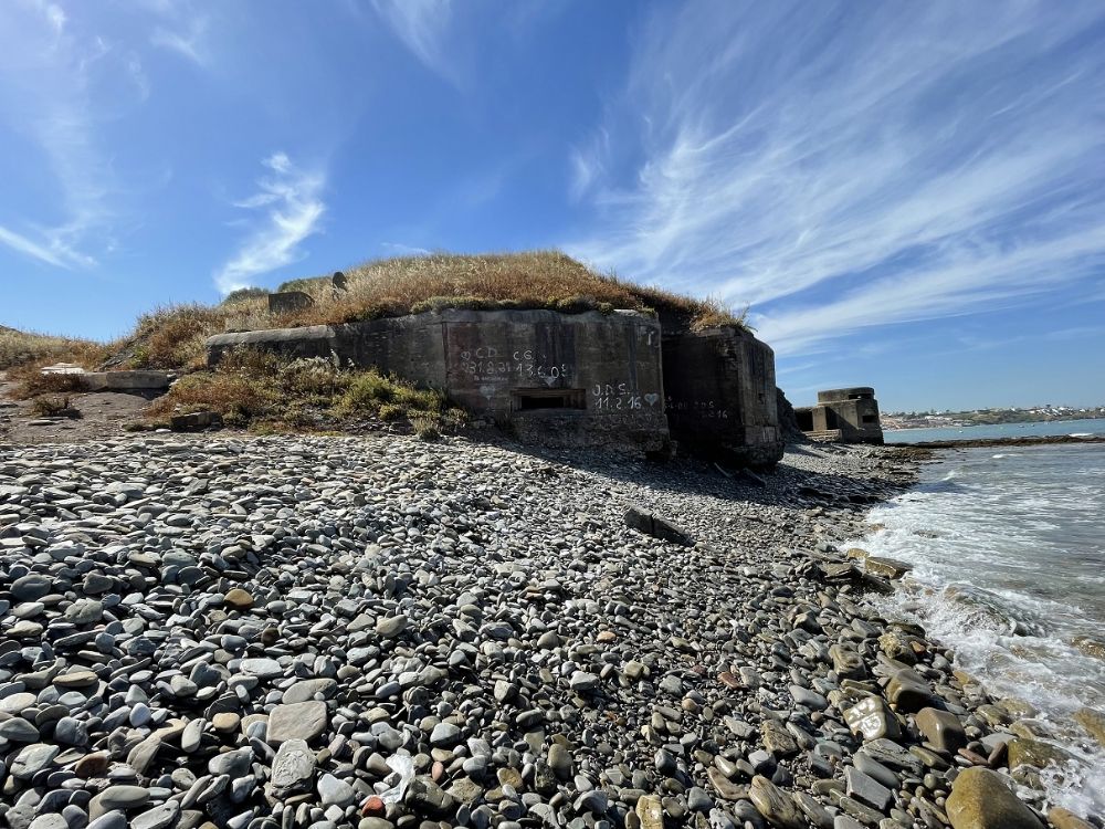
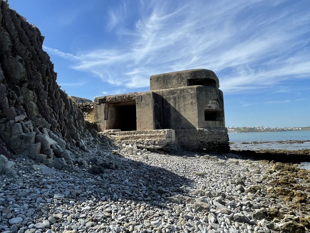
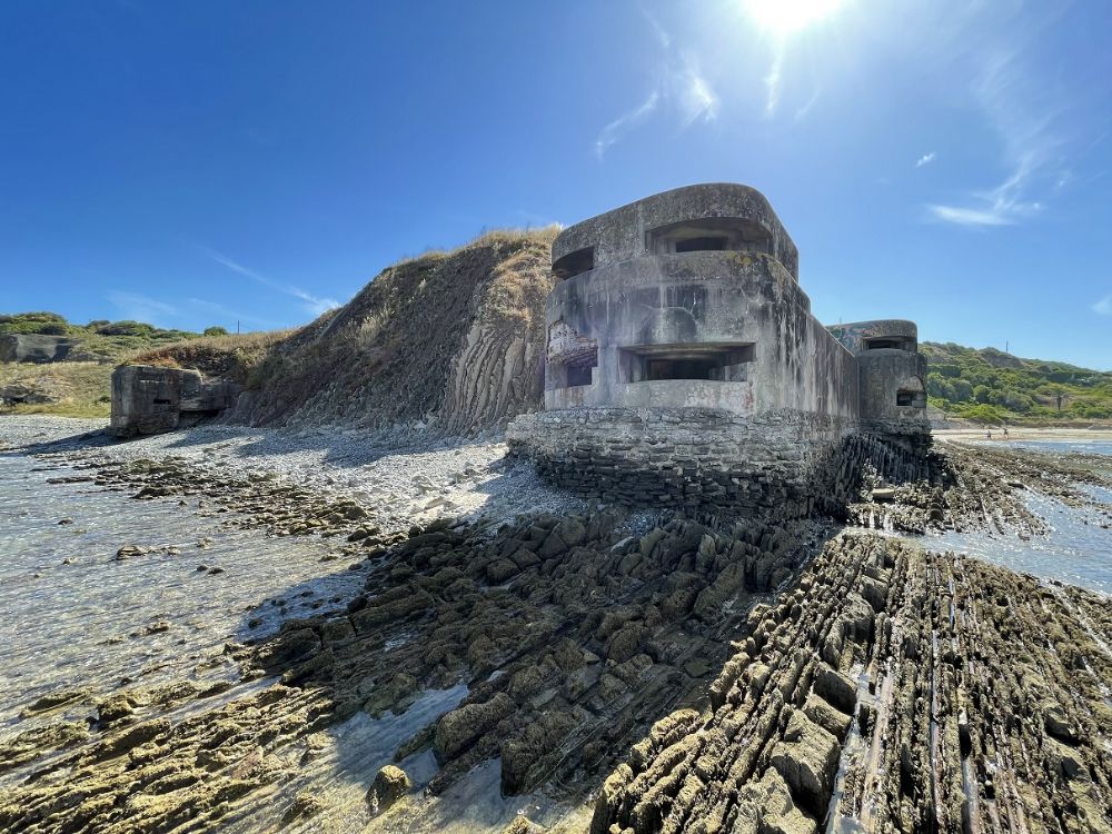


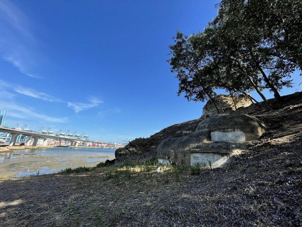
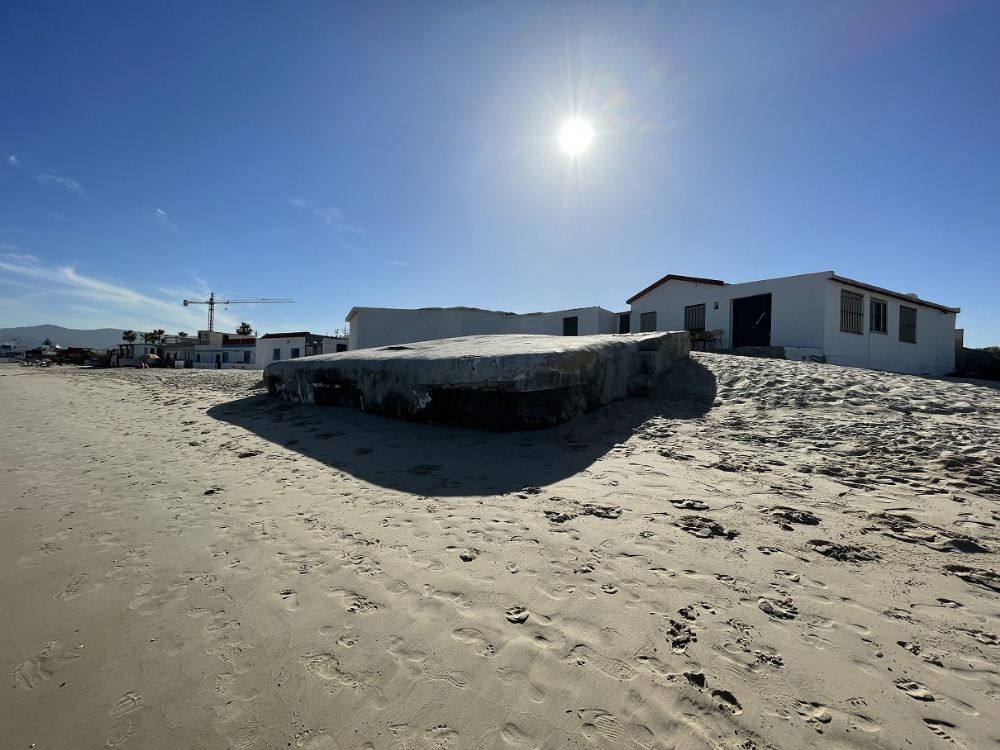
A British (or allied) invasion of the Spanish mainland was never discussed, but that could Franco not know at a time of uncertainty. When the coastal defense was dismantled, I do not know, now the bunkers have become part of the beaches. Some bunkers are more well preserved than others and some have probably disappeared into the sea or into the sand over time. Of the bunkers I visited, the ones at Punta de Getares were the ones best preserved.